ArcGIS StoryMaps
Canadian Geospatial Digest June 12th, 2023
Canadian wildfires, Smoke map, hotspot map, fire intensity, and more An immense underwater mountain off the coast of British Columbia…
International Geospatial Digest March 27th, 2023
National Geographic Society and Utrecht University Launch World Water Map. How to use free satellite data to monitor natural disasters…
Pesticide use public presentation using ArcGIS StoryMaps and Instant Apps
The beginning of the story In the past summer, Kamloops Food Policy Council (KFPC) launched a research project to study…
Esri Canada GIS Scholarships
Calling all Canadian GIS students! Through the GIS Scholarships program, Esri Canada recognizes Canadian post-secondary institutions that deliver strong, multidisciplinary…
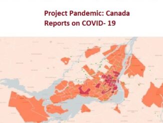
Canada Mobilizing Maps, Data, and Investigative Journalism for Project Pandemic
Access to information should not be determined by where we live. Project Pandemic is a data co-op and collaboration designed…
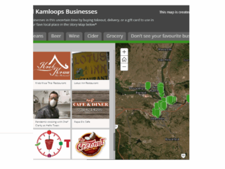
COVID-19: Supporting Kamloops, BC businesses using Story Maps
In the middle of March 2020, COVID-19 pandemic leads to social distancing rules in Canada. Public areas such as restaurants…