community mapping
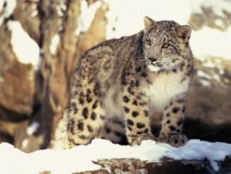
International Geospatial Briefing Sep 13th: Interactive Map Shows the Best Time to Photograph Fall Foliage; New interactive 3D map lets you see downtown Tampa in a new way; Geospatial Commission launches pilots to improve how data about land is used in the UK; Drop a Raindrop on This Magical Map and Watch Its Journey to the Ocean; FireWatch maps aim to help keep homes, community safe from wildfire; Geospatial Data Essential to Protect Snow Leopard in Mongolia
Interactive Map Shows the Best Time to Photograph Fall Foliage Photographers will not have difficulty planning fall photoshoots anymore and…
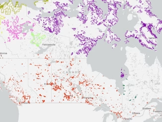
Community Map of Canada by Esri Canada
The Community Map of Canada is a basemap of Canada built from authoritative data, collected closest to source and updated…
Your Canadian Geospatial Briefing for Sept 22: First woman to head CSA; Polar Bears’ GPS Collars Reveal Hidden Histories; Data Crisis in Covid-19; What Would The Impact of the Beirut Explosion Look Like on Maps of Canadian Cities; Should You Get a GIS Certification?
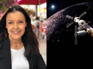
Lisa Campbell becomes the first woman to head the Canadian Space Agency – CBC The Government of Canada announced earlier…
CANMAP, and SHIFTing gears at COGS
At the end of last month, John Wian hosted the Annual General Meeting (AGM) of the CANMAP Research Institute in…
Annapolis Community Mapping April 13 at COGS
1866: a twenty three year old blacksmith from rural Annapolis County who could neither read nor write. 1888: a five…
Making is Connecting: the social meaning of creativity
I spent Christmas in Sydney, Cape Breton. While there, I had the time to read David Gauntlett’s book ‘Making is Connecting’.…
Geography: Thinking About Walking Home
Walking Home is a book by Ken Greenberg on ‘the life and lessons of a city builder’. It describes the…
Northern Canada: Nunavut and a New View of Community Mapping
The writer and his wife, Heather Stewart visited grandchildren in Iqaluit for three weeks in April During the first week…
Putting Map Making Back Into the Hands of the Community
On April 7th, I attended the community mapping showcase at the NSCC Centre of Geographic Sciences (COGS). This project is…
A Shared Vision
Every year, a small team of Esri staff come to COGS to recruit new talent. As part of the interview…
Remembering Roger Tomlinson & Early History of GIS in Canada
It’s two years now since Roger Tomlinson passed away. Roger’s and my career path have crossed several times over the…
The Real Thing: Robert Maher Examines the Book “The Real Thing” by Briony Penn
Over Christmas, I had the opportunity to go ‘off island’. One of the pleasures of visiting Victoria, British Columbia is…