Community
Tim Webster: Interview about Past, Present, & Future: Applied Geomatics Research Group
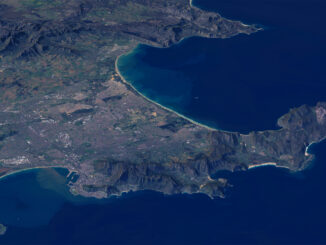
Dr. Tim Webster, is a renowned research scientist with the Applied Geomatics Research Group (AGRG) in Middleton, Nova Scotia. He is one of the top researchers in the geomatics sector, specializing in flood risk mapping, shoreline delineation, and […]