COVID-19
Covid-19 and the Effects on Urban Lifestyle
Covid-19 caused rapid changes to people’s lifestyles. Travel, trade, and social space are a few topics, among many, changed by…
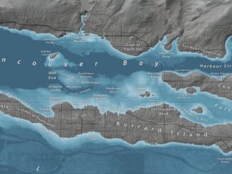
Canadian Geospatial Briefing Oct. 4th: Netflix Canada map; Lim Geomatics; accurate COVID-19 mapping; BC rising sea-level maps; Apple Maps in Canada; rural open data event
Netflix Canada launches website showing its filming locations across the country Netflix in Your Neighbourhood will allow users to search for…
Canadian Geospatial Briefing July 19th, Drone spraying research promising; B.C. wildfire map; Manitoba Infrastructure Projects Map; N.B. COVID dashboard; New database of P.E.I. trails maps
Drone spraying research promising Drone spraying would be ideal for touch-ups and misses in a field after a large sprayer…
Canadian Geospatial Briefing May 25th, 2021: Mapping long-term impact of COVID-19 in BC Communities; Regina Youth-led Eco-friendly Transit Map; Map and Report Abandoned Rabbits; Visualizing Alberta Provincial Vaccine Data; Old-growth at Risk in BC; Anglers Drop Bait with Drones; Canadian to Send Dogecoin to the Moon; New OGC Board of Director
An unequal post-pandemic recovery: mapping the aftermath Mapping the COVID-19 pandemic’s secondary health impacts is co-led by SFU geography professors Valorie…
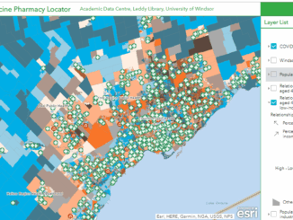
Canadian Geospatial Briefing April 26th: Ontario COVID-19 Vaccine Pharmacy Locator; 5G drones fly over UBC; AI & remote sensing for future Lac à Paul tailings dam; UBC prof uses Sim City-like program to map disease paths; Remote sensing map of Canada’s first highway to the Arctic
UWindsor researcher maps which Windsor neighbourhoods need help accessing vaccines Research by Carina Luo, a geospatial data analyst at the…
International Geospatial Briefing April 6th: Google Map with AI-powered updates; Suez Canal and maritime chokepoints; Mapping Covid-19 pandemic in Peru; Private influence on OpenStreetMap; Call for ethical location data use
Redefining what a map can be with new information and AI, new features coming to Google Maps, including AR for…
Code in Place: Free Python course hosted by Stanford University
Last year, almost at the beginning of the COVID-19 pandemic, I attended a Python programming course for almost five weeks.…
The Evolution of Mapping Disease
The current pandemic is highlighting how important GIS is in understanding and interpreting data. History shows the evolution of GIS…
How Location-Based Services Can Help to Locate Mass Social Gatherings
Social Distancing and Illegal Assemblies The coronavirus pandemic is changing our living habits. Social distancing measures have been implemented to…
International Geospatial briefing for 14th December: Youngest drone cartographer; COVID-19 impact on satellite data services market; Drone-integrated metal detection sys; Initiative for more accessible data
Young drone cartographer puts record-breaking on the map Nathan Lu from the USA is featured as the youngest drone cartographer…
International Geospatial briefing for 30th November: Mapping the Ocean floor; Geospatial COVID-19 Vaccine distribution; Sydney beaches drone monitoring; UK Map sales soar; Software without Geospatial power has lost the plot.
Which Countries are Mapping the Ocean Floor? Significant progress has been made in Earth Observation around the world. Thousands of…
International Geospatial Briefing for November 16th: Yana Gevorgyan as the next GEO Secretariat Director; Mapping Britain’s footpaths; GIS, fortified Kenya’s response to COVID-19; Time travel to US cities 200 years ago by Google experiment
Appointment of Yana Gevorgyan as the next GEO Secretariat Director Yana Gevorgyan will be the next GEO Secretariat Director, effective…