disasters
GoGeomatics Expo Adds New Program: Geomatics for Climate Resiliency
In recognition of the pressing global environmental challenges we face today, the Expo has added a new program to highlight…
Panelists Discuss The Power of Diversity When Combating Climate Change
Five Views On The Importance of Diverse Perspectives During the GeoIgnite, Winter Geo live-streamed closing panel discussion on March 3,…
CHORUS Constellation Evolutionalizes How We Understand Climate Change
“CHORUS will evolve our understanding of climate change” CHORUS, MDA’s commercial Earth observation mission and a collaborative multi-sensor constellation, is…
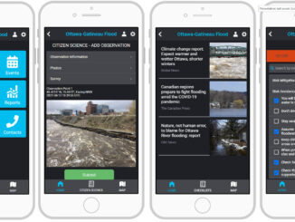
Building Software Solutions for Climate Change: Closing the communication gap between citizens and trusted authorities before, during, or after a disaster.
A Climate Change Problem: The Communication Gap between Citizens and Authorities At a time of rising climate change impacts, there…
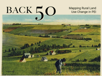
Canadian Geospatial Briefing Sep 7th: Grizzly genetics matching Indigenous boundaries; Drones in disaster planning and monitoring; Amber Alert app but for missing people with Dementia; 50 years of PEI’s landscape transformation; High-definition 3D map for Toronto
‘Mind blowing’: Grizzly bear DNA maps onto Indigenous language families The bears and Indigenous humans of coastal British Columbia have…
How Deploy Solutions can help bridge the communications gap in times of climate change crisis
Our Changing Climate The world we live in is changing, with global warming reshaping climate and causing more frequent, more…
Building Software Solutions for Climate Change: Closing the communication gap between citizens and trusted authorities before, during, or after a disaster
A Climate Change Problem: The Communication Gap between Citizens and Authorities At a time of rising climate change impacts, there…