Technology
International Geospatial Digest for June 10th 2024
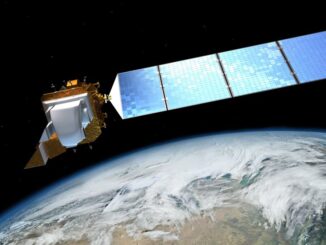
New Map Shows Geothermal Energy Potential SWOT Transforms Flood Forecasting AI Mapping Helps Plan for Climate Change Moon Mapping Could Assist in NASA’s Artemis Missions AI-Enhanced User Experiences in ArcGIS Pro 3.3 Japan to Launch […]