Google Earth Engine – What is a Data Cube and Why Canadians Should Care
What is a data cube and how is it used for big data analytics? How does a data cube work with remotely sensed data? Before writing this article I had never heard of a data […]

What is a data cube and how is it used for big data analytics? How does a data cube work with remotely sensed data? Before writing this article I had never heard of a data […]

University of Waterloo searching Funded Master’s (MA or MES) research project Dr. Carrie Mitchell (UW-Planning) and Dr. Brent Doberstein (UW-Geography & Environmental Management) seek a Master’s thesis student to carry out research on the “Development of […]
At the end of last month, John Wian hosted the Annual General Meeting (AGM) of the CANMAP Research Institute in Bridgetown. The CANMAP Research Institute was formed in the early 1980’s by John, with input […]
GoGeomatics is excited to introduce the Thunder Bay GoGeomatics group as the newest grass roots effort by local geospatial professionals, students, and organizations to get together and network in Canada. Over the last 7 years […]
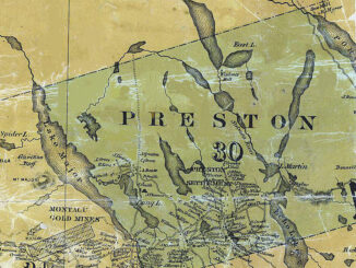
NSCC students make major impact in two small communities with huge historical significance Students at Nova Scotia Community College’s Centre of Geographic Sciences are combining their skills in geomatics with a desire to propel the […]
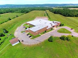
What About COGS The Centre of Geographic Sciences (COGS) is one of the best colleges in Canada for learning GIS. As a COGS graduate myself I am writing this article to help future students make […]

This year Canada will celebrate its 150th birthday on July 1st. Most of you, like me, will be out celebrating with friends and family, enjoying the amazing firework displays. Therefore, in honour of Canada’s 150th […]
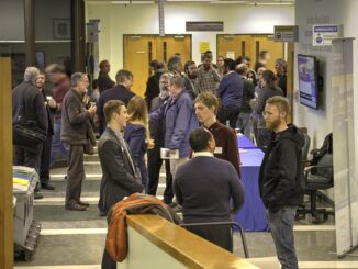
The Canadian Institute of Geomatics (CIG) Nova Scotia Branch and the Geomatics Association of Nova Scotia (GANS), two regional professional organizations that foster the application of geographic information within the geomatics sector recently collaborated to host a high resolution mapping workshop at the Centre of Geographic Sciences (COGS) in Lawrencetown, Nova Scotia. […]