Community
National Surveyors’ Conference 2013
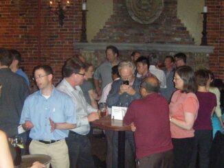
The fabulous ninth National Surveyor’s Conference was held from June 18th to 21st, 2013 in Niagara Falls, Ontario in collaboration with Professional Surveyors Canada! This excellent Conference included an inspiring keynote speech by Summer […]