LiDAR News
The State of Mobile Mapping Report 2022 is here: Find out what the industry has to say
Brought to you by NavVis in partnership with GoGeomatics, Lidar News, Lidar Magazine, the American Surveyor, GIM International, Geo Week,…
LiDAR COMEX Panel Discusses Lessons Learned From Challenging 3D Scanning Projects
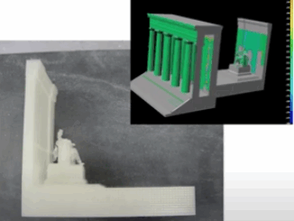
Lessons can always be learned from challenges. LiDAR COMEX 2022 had a final panel presentation on April 5, 2022,…
Emesent Achieves Survey-Grade with SLAM-base Mapping
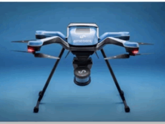
Emesent recently launched its Hovermap ST to assist in the improvement of LiDAR mapping. On April 5, 2022, at…
LiDAR News Weighs in on HD Map Standards and the Creation of Opportunities
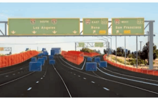
LiDAR 2022 held a live stream presentation on April 5, 2022, with LiDAR News CEO, Gene Roe. Roe spoke on…
3 Free Streaming Lidar Workshops from 3 of the Best Lidar Companies in the world
The free livestream main conference and workshop day will run from April 5-6, 2022 April 6th Workshops: Cintoo Cloud: A…
Challenging 3D Laser Scanning Projects – Best Practices & Lessons Learned: LiDAR COMEX 2022 Panel
Panel Announcement LiDAR COMEX 2022 today announced that a distinguished panel of 3D laser scanning industry veterans will be offering…
LIDARCOMEX & SUMSF: two major new events you should not miss for LIDAR & Underground Mapping
GoGeomatics is presenting two major new online events coming up fast in 2022. Does your organization want to learn more?…
LiDAR Commercial Expo 2022 Platinum Sponsor Announced
Mobile mapping system leader NavVis will be the featured platinum sponsor for LiDAR COMEX 2022 – April 5, 2022 Hampton,…
Teledyne Geospatial Showcases Advanced Solutions at Ocean Business 2021
Teledyne Geospatial will bring its latest advancements in bathymetric lidar and ocean mapping software solutions to Ocean Business 2021, being…
Canadian Geospatial Briefing March 29th: Bringing 18th Century Fort to Life; Self-Driving Shuttle Bus; New Integration Within Cityworks Platform; University of Sherbrooke receives more than $28 million for artificial intelligence research; Real-time water levels now available on district web mapping portal in Muskoka, Ontario; Whole new agricultural revolution
Archaeologist Brings 18th Century Fort to Life with LiDAR and 3D Modeling. Dr. Jonathan Fowler, a Canadian archaeologist at Saint…
Your Global Geospatial Briefing for March 11th: Autonomous cars; Hong Kong spatial data; smart phone data; YGP Award
Who will own the data collected by autonomous vehicles? Who will own the data collected by autonomous vehicles? That is…
Younger Geospatial Professional of the Year Award for 2019
LiDAR News and SPAR 3D are excited to announce that they will be hosting the inaugural Younger Geospatial Professional of…