model

High Resolution Mapping Along the Coastal Zone - https://geomatics.one

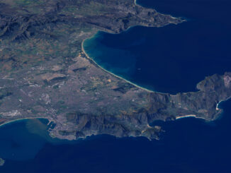
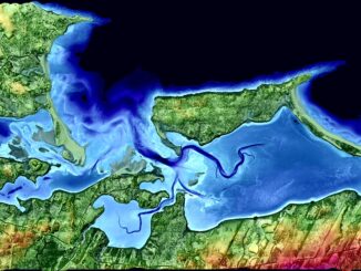
Atlantic Canada: COGS: Geomatics Professionals Coming to Discuss High Resolution Coastal Mapping

High Resolution Coastal Zone Mapping This collaborative effort by GANS & the CIG will engage the geospatial community & increase awareness on the value…

Graph Databases – Recent development in Neo4j may help accommodate the Geospatial Community

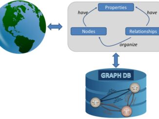
Graph Databases and GIS & Technology (GIS&T) In the era of big data, graph databases are becoming very popular as…

The Future of GIS Software? QGIS A Popular Open-Source GIS for the Masses

In today’s geomatics society, ArcGIS, developed by Esri, is a giant and dominates the GIS software market. However, there are…

Canadian Geomatics Innovation: Ecere Develops a Next Generation GIS

Not many companies undertake the ambitious goal of creating a new geospatial software suite from scratch. Ecere, a Canadian company…

The 5 most interesting things that happened in geomatics in 2016

Let’s take a step back and have a look at what happened this year. To be honest, it was pretty…

Canadian flag

List of Canadian Geomatics Conferences and Events for 2017

This is our list Canadian geomatics conferences and events for 2017. Here you will find events pertaining to GIS, remote…

Operational Use of Remotely Piloted Aircraft System (RPAS) for Geomatics Applications

Recently, I reviewed a report by the Canadian Council of Geomatics on the use of Remotely Piloted Aircraft Systems (RPAS)…

Predicting the Future of the GIS in Canada

Editors note: This article has been jointly written by Bruce McCormack and Gordon Plunkett. Bios can be found at the…

Contrasting: GIS & Geomatics Education in Canada and China

I have studied Geographic Information Systems (GIS) in both Canada and China. Last summer I completed my master in geography at…

Geospatial Development: Enhancing GIS curricula with programming skills at UNB

Geospatial information science and technology (GIS&T) has rapidly evolved over the last few decades. This evolution has created a highly…

Receiving Station Inuvik geomatics

CCRS in Ottawa: Big Geospatial Data Analytics Workshop

Almost a year ago a needs & requirement assessment was conducted to gather information on the potential development of a…

What are the Top Programming Languages in the GIS World?

Image source: www.tiobe.com Every now and again we hear about the importance of programming for Geographic Information Systems(GIS) professionals, that…