Community
Securing Canada’s Water Resources in a Changing World
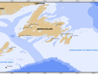
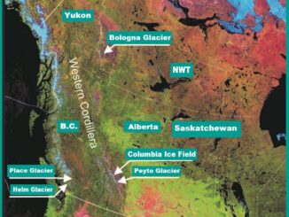
Water is crucial for all life on Earth, and as the planet increasingly feels the effects of climate change, freshwater is becoming an even more contentious issue. Canadians are fortunate to possess approximately 20% of […]