OpenStreetmap
International Geospatial Digest for September 2nd, 2024
Geospatial Database OpenStreetMap Comes of Age In Lithuania’s Capital, Drones, Maps, and AI Unite City Functions Mapping Australia’s deepest-known cave…
International Geospatial Briefing April 6th: Google Map with AI-powered updates; Suez Canal and maritime chokepoints; Mapping Covid-19 pandemic in Peru; Private influence on OpenStreetMap; Call for ethical location data use
Redefining what a map can be with new information and AI, new features coming to Google Maps, including AR for…
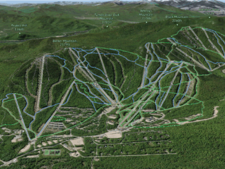
A Canadian Ski Bum’s GIS Resource Guide
What is the first thing you do when you get to a ski resort? Usually, it would be to grab…
Your Canadian Geospatial Briefing for September 7th: UofC’s research on glacial lakes; Canadian youth in space sector; Remote Sensing reasons out orange dusting in N.W.T; USask’s AI contribution to agriculture; Calgary woman’s Park story map
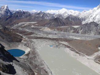
Dramatic growth reported in glacial lakes – A study by University of Calgary Dr. Dan Shugar, an associate professor at…
Géoclip – A geostatistical observatory software product
The Géoclip observatories are web applications for statistical mapping to promote the analysis of territorial data sets. A Géoclip observatory…
Fresh Food Mapathon: Put fresh, local food on the map!
Date: March 2, 2019 Time: 8:30am-6:00pm Location: MakerLab at Venture13 Address: 739 D’Arcy Street, Cobourg About the Event Venture 13 is hosting…
GIS Open Source versioning tool for a multi-user Distributed Environment (part 2)
Cet article est aussi disponible en français. This article is the 2nd part of GIS Open Source versioning tool for a multi-user Distributed…
Outil de versionnement des données géographiques à code source ouvert pour des environnements multi-contributeurs (partie 2)
This article is also available in English. Cet article est la 2e partie de l’outil de versionnement des données géographiques à code…
Outil de versionnement des données géographiques à code source ouvert pour des environnements multi-contributeurs (partie 1)
Note des éditeurs : Cet article a été écrit conjointement par Nicolas Gignac, Dami Sonoiki (eHealth Africa) et Samuel Aiyeoribe (eHealth Africa). Ces auteurs…
GIS Open Source versioning tool for a multi-user Distributed Environment (part 1)
Editors note: This article has been jointly written by Nicolas Gignac, Dami Sonoiki (eHealth Africa) and Samuel Aiyeoribe (eHealth Africa). These authors…
Top Ten Climate Change Maps and GIS Applications
Awareness for climate change has been steadily increasing ever since the Green Revolution in the 1960s. There is a plethora…
Montreal: K2 Geospatial launches latest version map-based integration platform JMap
More powerful, even more robust and interoperable, JMap 7 is now available JMap’s 7th version is finally here! K2 Geospatial,…