
Education & Careers
ArcGIS 10.X Tips and Tricks
ArcGIS is used everywhere so chances are if you are in GIS you have used it before. But even so, you may not be familiar with all of the geoprocessing tools and features available to […]
ArcGIS is used everywhere so chances are if you are in GIS you have used it before. But even so, you may not be familiar with all of the geoprocessing tools and features available to […]
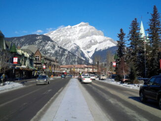
On February 6-9, 2014, Dr. Claus Rinner, Associate Professor of Geography and Program Director of the Master of Spatial Analysis at Ryerson University and his team of four students attended the 2014 Spatial Knowledge Information […]
As climate change and managing our environment responsibly become larger topics in industry, the media, and to everyday people, sustainable practices are continuously increasing in significance. Being able to predict the growth and status of […]

When I was in high school I developed an interest in geography as a field of study and perhaps a vocation. However, this all started a lot earlier than that. When I was a child, […]
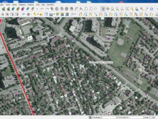
The essence of this article is: preparing a thick border around polygons for display on ArcGIS Online (but also in ArcMap); note I am using what is now – Nov 2012 – referred to as […]
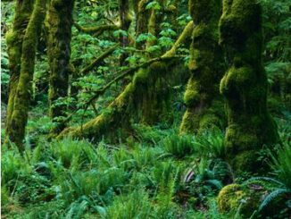
The City of Ottawa Official Plan set a target of 30% tree canopy cover for the entire city. To the author’s knowledge there is no information on the amount of tree canopy for the entire […]
GoGeomatics: Welcome to the GoGeomatics Canada community. To get started can you tell us about where you are from and why you decided to make a career of GIS? Darin Brooks: Thanks for having me […]