Satellite

Your Global Geospatial Briefing for November 5th: What the District; World Cities Day; Japanese satellite Ibuki-2; geomarketing; Geospatial Data Act

Using Maps to Visualize Gerrymandering in the age of Trump The ACLU’s “What the District?!” map allows users to trace…

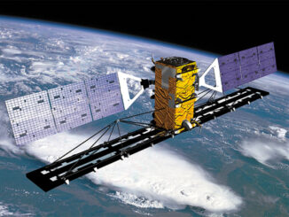
Canada’s RADARSAT Constellation launch delayed

The launch of the Canadian Earth observation satellites (known collectively as the RADARSAT Constellation) has been delayed until February 2019.…

Your Global Geospatial Briefing for October 23rd: GIS market growth; Huawei; Argentine satellite; unmanned aerial systems; CNBC 100 Upstarts

GIS is transforming key industries The geospatial data market is expected to grow to $73.9 billion by 2021, benefitting seven…

Your Global Geospatial Briefing for October 9th: Geospatial Data Act; cloud computing; security; NASA tests satellites; blockchain

A federal act to streamline geospatial data The USA recently passed Geospatial Data Act is expected to streamline federal government…

Your Global Geospatial Briefing for August 27th: UK Geospatial Strategy; Story Mapping; Siri’s location recognition technology; Satellite Aeolus; Alan Volbrecht

UK Government Calls for Launch of Geospatial Strategy: The data revolution The UK has launched the Geospatial Commission to encourage…

Your Canadian Geospatial Briefing for June 25th: Canadian GIS Program Closing; Arctic Coast Guard; Canadian Gov’t and Big Data; Radarsat Satellites; flood imagery; Investing in Canada Plan

Why is Red River College closing its GIS program? “Low Industry and labour market demand and difficulty attracting students” as…

Google Earth Engine – What is a Data Cube and Why Canadians Should Care

What is a data cube and how is it used for big data analytics?  How does a data cube work…

UAV Surveys – How to Ensure Accuracy and Precision

For the past four years, I’ve been involved with the capture and delivery of data derived from drones. My experience…

Free Satellite Imagery For You: Sentinel 1 & 2

Sentinel constellations and data products As the ENVISAT program is coming to an end, the European Space Agency has begun…

My COGS GIS Education, Part II

In my first article, I introduced the how and why I chose to attend COGS from the fall of 2014…

Remote Sensing QGIS: Semi-Automatic-Classification Plugin (SCP)

Semi-Automatic Classification Plugin   Today I’m going to take a quick look at one of the remote sensing plugins for…

Top Ten Climate Change Maps and GIS Applications

Awareness for climate change has been steadily increasing ever since the Green Revolution in the 1960s. There is a plethora…