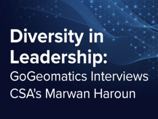
||||||
Other

International Geospatial Briefing May 23rd: 1. Dam Surveys, 2. Greenland Is Cold, 3. GOES-18 Image, 4. Satellite Lasers, 5. Open Maps For Europe, 6. Google Maps Immersive View

Dam Fine Data: Sub-millimetre-resolution UAS Dam Surveys Mapping heat flow beneath Greenland highlights geothermal ‘freak zone’ Stunning First Imagery of Earth From Advanced GOES-18 Satellite Military experiment demonstrates intersatellite laser communications in low Earth orbit […]

|||
Technology

International Geospatial Briefing April 25th: 1. Using drones to study forests; 2. US bans anti-satellite missile tests; 3. Anaconda collaboration with Esri; 4. UP42 partners with Nearmap; 5. World’s 1st blockchain geospatial network

Using drones to study forest canopy in UNESCO world heritage site A recent study led by researchers at the University of Tuscia and the Mediterranea University of Reggio Calabria found that using unmanned aerial vehicles (UAV) allowed […]

||
Technology

International Geospatial Briefing Jan 31st: 1. Exploring the World’s Food Sources; 2. Tracking Sinkholes with Satellites; 3. New Map Shows 2016 Methane Emissions Worldwide; 4. AI and McDonald’s Locations; 5. Satellites Proving Useful in Aftermath of Tonga Eruption

New Interactive Map Explores World’s Food Sources A new application recently published by Visual Capitalist allows users to explore food production around the world like never before. The interactive map allows you to sort and […]