UAVs

UAVs in Canada – Key Exposures to Loss and Ways to Protect Yourself

This article was written by Mark Sampson for the Association of Ontario Land Surveyors. Mark’s contact details are at the…

PCI Geomatics and PrecisionHawk Enter into Long Term Partnership

PCI Geomatics, a world leading developer of remote sensing and photogrammetric software and systems, announced today it has entered into…

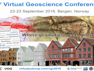
Conference: Where Geomatics Meets GeoScience

With now only one month to go until the 2nd Virtual Geoscience Conference (VGC 2016) takes place in Bergen, Norway,…

Airobotics Selects SimActive’s Photogrammetry Software for its Automated Industrial Drone Solution

Montreal, Canada, August 30th, 2016 – SimActive Inc., a world-leading developer of photogrammetry software, is pleased to announce that Airobotics…

Drone Conference In Dartmouth: geoFutures – Above Between and Below

The Geomatics Association of Nova Scotia (GANS) would like to invite you to join us at the Best Western Plus Hotel…

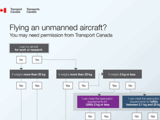
Transport Canada updates Canadian UAV Stakeholders

GoGeomatics got an interesting email this week about the proposed regulatory framework regarding UAVs from Transport Canada.  It’s really an…

SNRC: UAV Integration Highly Valued in Canadian Marketplace

Due to a foreseeable increase in the demand for UAV acquired aerial imagery in resource management, various firms are already…

UAV Technology in the Canadian Forestry Sector

The Unmanned Aerial Vehicle (UAV) industry is soaring! Civilian drones are being applied in various global industries ranging from agriculture…

Kongsberg Gallium becomes Kongsberg Geospatial

The move is part of a comprehensive rebranding strategy to more effectively align the Company’s name with its future strategy…

2016 Canadian Geomatics Events & Conferences

This is our list Canadian geomatics conferences and events for 2016. Here you will find events pertaining to GIS, remote…

Transport Canada encourages new drone users to learn rules before flying

With popular holiday gift comes great responsibility OTTAWA, Dec. 11, 2015 /CNW/ – Drones, also known as unmanned air vehicles,…

Archaeology & UAV: AG-Wing has covered 41,250 Acres in Easter Island

AG-Wing small unmanned aerial system has covered the whole Easter Island in about a week, 41,250 acres in the southeastern…