This section of our website is where we focus on the various different career disciplines that make up the Geomatics industry. This is good for young people who may be thinking about getting involved in the Geomatics business, for someone thinking of a career change or for those that just want to learn more about Geomatics.
We would like to introduce Wendy Innes, a graduate of Marine Geomatics program at COGS to help better explain and define what a Survey Crew Chief role could be.
So welcome Mrs. Innes to GoGeomatics …
What is your title and how long have you been in that position?
I am currently a Survey Crew Chief/ Geomatics Tech. I normally run a crew in the field, however, I am also one of the only crew chief that is trained to work in the office as a Geomatics Tech so when it slows down in the field they usually pull me from the field and get me working in the office. Better to do that then to sit at home doing nothing waiting for work.
What was your previous position?
I was a rodman (field assistant)
Where did you acquire your geomatics skills?
I have Advanced Diplomas in Marine Geomatics and Applied Geomatics Research from COGS. Also some additional courses from SAIT (Southern Alberta Institute of Technology) and U of C.Can you tell us what a typical day for you is like?
Can you tell us what a typical day for you is like?
When I’m in the office I am usually processing field data then calcing plans mostly well sites and pipeline righ of ways. When I’m in the field everyday is different. You usually wake up in a hotel or a camp, very rarely do we work from home. Spend the day surveying could be many different types of work pipelines, well sites, pipeline construction etc… At the end of the day you return back to your hotel download your data finish your notes, time sheets and other paperwork and send it all into the office. Then you do it all over again the next day.
Where would you like to be in your career 5 years from now and how will you make that happen?
In 5 years I hope to be an Alberta Land Surveyor. I have been writing my Canadian board exams and have completed 12 of the 13, I got credit for 5 from previous schooling, I took classes at SAIT and U of C to get credit for 3 and the others I studied for on my own and challenged the exams. Once I get my last exam out of the way I will begin the articling process. This requires 3 professional exams, a certain amount of field time, a certain amount of office time and several reports.
What skill set do you use the most in your job?
Working in the field math skills are important for surveying and caculations, communication skills and organizational skills are also very important as we are always dealing with different landowners, clients, environmentalists etc…
You also need to be physically fit. We can work long shifts, up to 24 days in remote areas where you may require lots of walking carrying gear, snowmobiling, snowshoeing or quading etc… Also, need to be able to work in many different kind of conditions (-40 to +40 and everything in between?)
What equipment/software do you use most day to day?
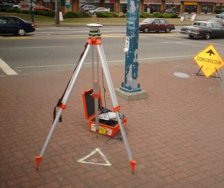
While working in the field I use mostly RTK with some conventional total station work. Our office uses Trimble RTK systems and Leica total stations. You also have to be pretty computer literate because all of our data is digital and everything gets sent to the office nightly because we are usually away from town. When working in the office you need to be proficient in Microsoft Excel, Mircrosurvey and autocad. There are many other little programs we run to process data etc. but many of these have been programmed by our employees to just do what we need them to do for us.
Is there a skill set you looking at expanding or learning in the future?
I feel I am constantly learning because of software changes and newer and better technologies etc… I just learn them as I go.
How do you feel about the future of our industry today?
We are currently experiencing a slow down with the current recession, most of our work is in the oil field so our company is starting to branch off into other areas such as construction and powerline surveys. However, it is starting to pick up and we are anticipating more work this year starting around the 3rd quarter.Do you have any advice for someone interested in becoming a “Manager Software Engineering”
Be a self-starter and be prepared to learn. GNSS is at the cross roads of Electronics, Physics, Mathematics, Manufacturing, and customer usability. It is a true cross functional discipline and requires that individuals within it are able to learn new technology quickly and adapt to rapidly changing trends.
Do you have any advice for someone interested in becoming a “Survey Crew Chief / Geomatics Technician”?
I would suggest going to a college over a University for your geomatics training if you are planning on working in the field. You get so much more hands on experience with the different pieces of equipment you’ll encounter in the field such as different RTK systems and total stations.
[image source: tmackinnon.com]
We would also remind you that GoGeomatics is your best place to help you build and network your own professional Geomatics career and encourage you to get involved in the discussions on the GoGeomatics Forum.
If you or someone you know is involved in Geomatics and would like to share your experiences with us then we would love for you to contact us.


Be the first to comment