
Join us as we speak about the science and techniques of land surveying, shedding light on its crucial role in urban development, infrastructure planning, construction, cartography and land preservation. Thought leaders will speak about the hot topics shaping the industry, the latest systems and technologies, and what the future holds.
Presentations & Discussions
Tech Trends in Geomatics: Present & Near-Future
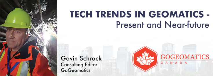
What are the trends in education, technology, policy, perception and markets that will mold the future of Geomatics – and how has the profession responded? The presenter has worked in and written about numerous aspects of surveying for several decades and views the future of the profession as one of both challenges and opportunity – new, exciting and sometimes surprising opportunities. This session will be interactive, challenge conventional wisdom, poke a little fun, and hopefully provides some insights from “fields afar”.
Changing Your Frame of Reference: Reference Systems & Positioning in Canada
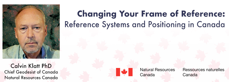
Geodetic Reference Systems are the foundation for geospatial data, serving as the official reference for latitude, longitude, height and gravity in Canada. A change in reference system involves a complete revision of the defining parameters and only occurs once every few decades. In Canada we are in a time of major change. These standards are changing at the same time as we see the introduction of new positioning services. New satellite constellations will be supported by new augmentation systems, and the era of the medium-Earth orbit GNSS satellites may be coming to an end.
Do You Know if You are Making or Losing Money on a Job?

Join us for an immersive and interactive workshop led by the founder of Cyanic Automation, Doug Kondor. Delve into the world of project management in the context of land surveying, guided by an industry expert with a passion for innovation. Go beyond theory with a hands-on journey through the best practices of project management. Tackle real project management challenges faced by land surveyors and gain insights into addressing common issues and optimizing your project workflows.
Building a Smart World with Precise Geospatial Information
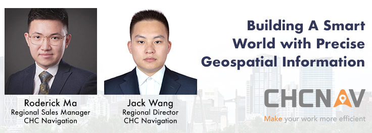
CHC Navigation is a global provider of innovative GNSS navigation and positioning solutions covering a wide range of professional applications, including land and airborne surveys, conventional GNSS surveys, 3D data acquisition, precision farming, unmanned navigation and robotics, real-time GNSS infrastructure and more. Significant and sustained investments in GNSS software, algorithms and core technology allow us to provide leading-edge technologies that meet the exact needs of our users.
Surveyor Succession Planning Panel

The bulk of licensed surveyors are nearing retirement and the numbers pursuing an education in the field don’t match the need. How do we attract and encourage a new generation of surveyors?


Be the first to comment