Facebook buys start-up in latest push to take on Apple and Google at street-level mapping
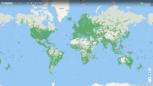
To take on Apple and Google at mapping the world, Facebook has acquired a Swedish start-up, Mapillary. The seven-year-old start-up from Malmo has built a street-level imagery platform which uses photo uploaded by the members of the public. The algorithm determines features such as road markings and traffic signs to allow map builders to use the data for their maps.
For long, Apple and Google have invested in street-level mapping. Facebook is trying to catch up and improves its products that depend on maps like Facebook Marketplace.
https://www.cnbc.com/2020/06/19/facebook-buys-mapillary.html

‘Rapid Action Coronavirus Earth observation’ dashboard, also known as RACE, now live
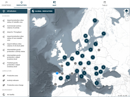
NASA, ESA (European Space Agency), and JAXA (Japan Aerospace Exploration Agency) have created the joint COVID-19 Earth Observation Dashboard in response to the global pandemic. The dashboard presents users with access to data indicating changes in air and water quality, economic and agricultural activity. The tri-agency data resource helps visualize the short-term and long-term impacts of the pandemic.

UK Geographic Association welcomes new geospatial strategy
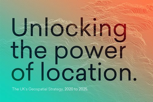
A new policy paper published by the British Cabinet Office and Geospatial Commission presents the vision that by 2025 the UK will have a coherent national location data framework. The strategy aims to achieve the vision by the following mission:
Mission 1: Promote and safeguard the use of location data.
Mission 2: Improve access to better location data.
Mission 3: Enhance capabilities, skills and awareness.
Mission 4: Enable innovation.

How geospatial technologies were used to map supply chains during COVID-19
After the initial shock, companies have bounced back and adopted GIS technologies and many others to improve their overview of supply chains, potential issues, performance analysis, and monitor critical metrics.
Geospatial technologies help in many ways:
1. Monitoring has never been more important for supply chains. Geospatial tracking allows companies to be active in their control and understand where their disruptions are.
2. Geospatial Technologies for Scheduling Orders. With geospatial technologies, companies can reduce their turnaround time by finding optimal drop-off and pickup centers to find a balance between cost and time.
3. Planning and Network Mapping for Supply Chains
4. Inventory Management
5. Supply Chains are Expanding. The coronavirus pandemic has also forced companies to expand their deliveries to areas they haven’t serviced before. Companies are using external data like satellite data, traffic, weather, and COVID-19 datasets to map opportunities and demands in different areas.


Be the first to comment