
Canada’s geospatial sector is moving into execution.
What was once treated as a supporting capability is now being positioned as core infrastructure. Across government, industry, and academia, this shift is no longer theoretical. It is showing up in how programs are being designed, how procurement is being approached, and how organizations are coordinating.
Several priorities are now converging.
- Geospatial is being treated as foundational infrastructure.
- Data sovereignty and control over critical datasets are becoming operational concerns.
- AI is moving out of experimentation and into production across workflows.
- Coordination across federal, provincial, and industry stakeholders is becoming both more important and more complex.
These are no longer experimental concepts; they are operational requirements. The sector has moved past the ‘what is possible’ phase and is now locked into the ‘how we deliver’ phase. This is the inflection point where strategy becomes infrastructure.
Direction is being formed now through procurement, partnerships, standards, and infrastructure decisions that will define how Canada’s geospatial capability develops over the next several years.
This is the context GeoIgnite 2026 is designed for.
Featured Plenary Keynote
From Fragmentation to Foundation: A Collaborative Geospatial Strategy for Canada
Sumit Gera, Senior Director, Canada Centre for Mapping and Earth Observation (CCMEO), Natural Resources Canada
Tuesday, May 12, 2026 | 11:15 AM | Plenary
One of the central moments of GeoIgnite 2026 will be Sumit Gera’s keynote on the emerging Collaborative Geospatial Strategy for Canada.
The keynote will address how Canada can move from fragmented jurisdictional silos toward a more coordinated national geospatial system, with geospatial data treated as critical infrastructure for sovereignty, security, housing, climate adaptation, emergency response, and AI-enabled decision-making.
This is not only a technical discussion. It is about how Canada aligns governance, standards, infrastructure, partnerships, and investment around a shared national capability.
GeoIgnite is structured as a working environment where these priorities can be addressed directly, with the people responsible for implementing them.
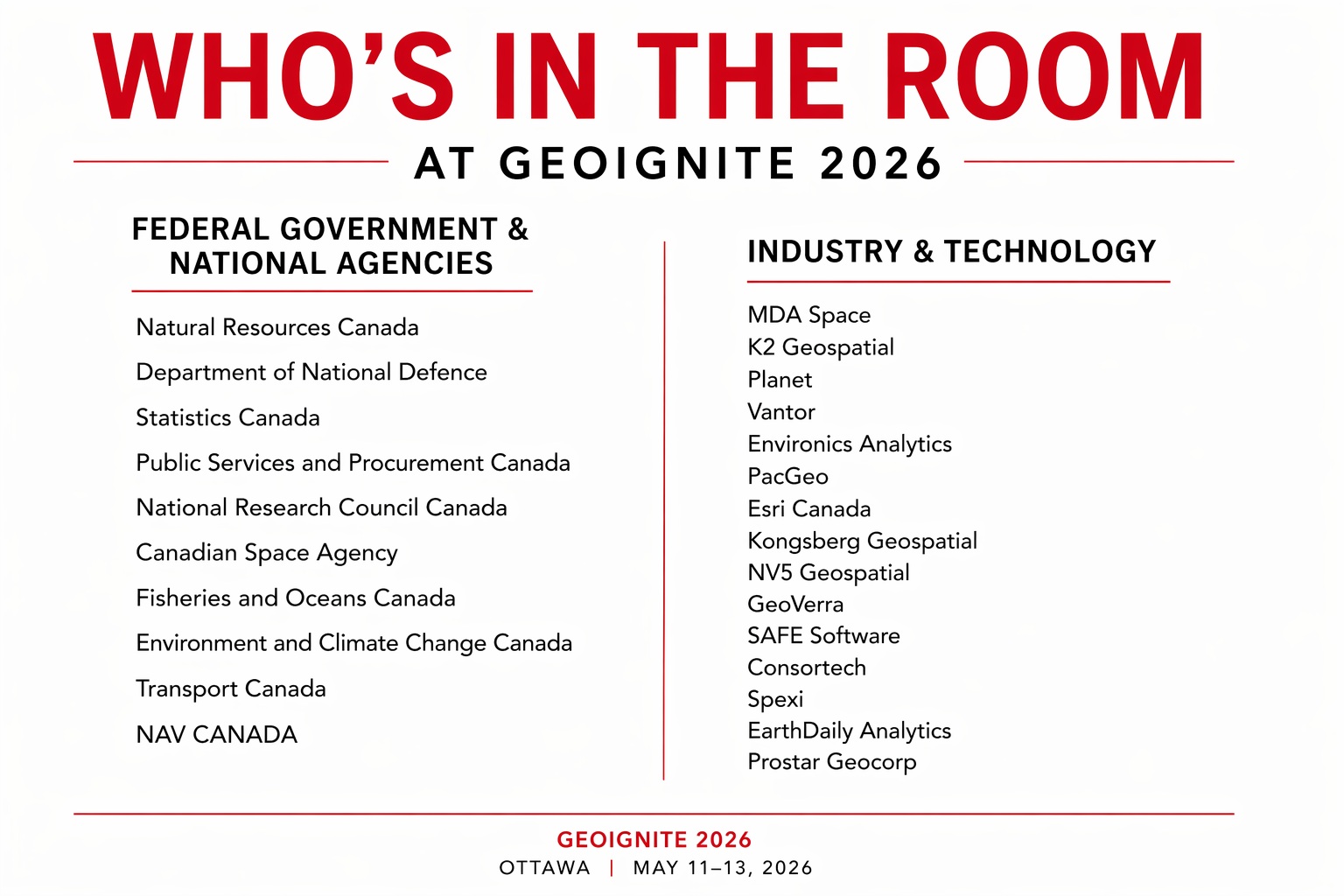
Participation is confirmed from across federal leadership, including Natural Resources Canada, the Department of National Defence, Statistics Canada, Public Services and Procurement Canada, the National Research Council, and the Canadian Space Agency, alongside industry leaders such as MDA Space, K2 Geospatial, Planet, Vantor, Environics Analytics, PacGeo, Esri Canada, Kongsberg Geospatial, NV5 Geospatial, GeoVerra, SAFE Software, Consortech, Spexi, EarthDaily Analytics, Prostar Geocorp, and others working across Earth observation, infrastructure, and AI.
The value is being in the room.
This is one of the few points in the year where leadership across these organizations is accessible in a single environment, with the ability to engage directly on how these priorities are being applied.
The structure reflects that.
Monday focuses on coordination through the Canadian Geospatial Forum and the OGC Canada Forum.
Tuesday and Wednesday move into the full conference, with plenary sessions and focused programs across Earth observation, infrastructure, geospatial intelligence, and AI.
For those working in this space, or responsible for decisions tied to it, this is where the current direction of the sector becomes visible.
And where access to it exists.
GeoIgnite 2026
Ottawa | May 11–13, 2026
Review who is attending, explore the program, and confirm your participation.


Be the first to comment