
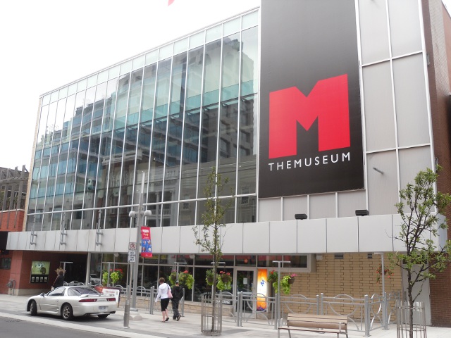
An upcoming two-day workshop in Kitchener, Ontario hopes to generate new relationships between academia, industry, and government around geospatial computing. The Interdisciplinary Workshop on Geospatial Computing is a free event with a focus on cutting edge tools for geospatial computing emphasizing open-source frameworks. It is taking place November 20 and 21 at THEMUSEUM.
Organizers are hoping for a diverse crowd of about 75 participants, from academic researchers, geospatial developers, GIS analysts, and more. Participants are asked to come with their thoughts and ideas, and encouraged to engage and participate throughout the workshop.
This is the first time they’ve run this workshop, and organizers are “excited to connect communities in the Waterloo region and southwestern Ontario,” says Dr. Colin Robertson, Assistant Professor in Geography and Environmental Studies and Director of the Spatial Lab at Wilfred Laurier University. Dr. Robertson is one of three organizers of this cross-disciplinary event. The other two organizers come from Engineering (Dr. Graham Taylor from the University of Guelph), and Planning (Dr. Robert Feick from the University of Waterloo). Dr. Robertson explains that “through collaboration on research projects, we have realized that there are a lot of people working with geospatial data in different fields, and we need to connect. This realization was the impetus for this workshop.”
The workshop will feature talks, demonstrations, and networking sessions. Kicking off the first day is a keynote address from Dr. Andrew Davidson, Manager of Earth Observation at Agriculture and Agri-Food Canada. Organizers have allotted plenty of time for questions and discussion after each speaker. Also, don’t miss out on the guided panel discussion at the end of day one!
On day two, attendees will want to check out a hands-on workshop with Dr. Carson Farmer from City University of New York. Dr. Farmer has been a member of the QGIS developer team and the GeoPandas project in Python, and will be focusing on teaching practical skills working with geospatial data in Python.
“This is a unique opportunity to connect the geospatial community across traditional dividing lines,” says Dr. Robertson. “We believe that new relationships, opportunities, and ideas will emerge from connecting people. If that is not enough, there is also free food!”
The Interdisciplinary Workshop on Geospatial Computing is a free event, but spaces are limited. Those interested in attending are encourage to register online. The workshop will take place November 20 and 21, 9am-5pm, at THEMUSEUM in Downtown Kitchener. For more details or to register, visit thespatiallab.org.


Be the first to comment