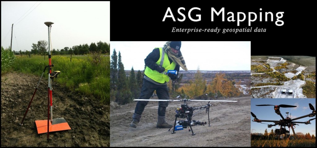
This is the last month for GoGeomatics Socials before we break for the summer, and in Ottawa we’re going out with a bang, for the ASG Mapping Ottawa GoGeomatics Social!
ASG Mapping Ltd is joining us this month to provide the group with some complementary munchies like wings and nachos, and a presentation on everything UAV.
This Social is taking place Thursday, June 25 at 6:00, in the basement of the James Street Pub – 390 Bank Street, Ottawa. Thinking of attending? Please RSVP through our Meetup Group or email [email protected].
Tim Addison, Business Development Manager with ASG Mapping Ltd, will provide a brief introduction on UAVs and their commercial uses. He’ll then be presenting UAV-related products and services, including:
- Orthomosaics
- Digital Surface Model (DSM)
- Point Cloud
- Digital Elevation Model (DEM)
- Classified Point Cloud
- 3D visualization/flythrough
- Remote Sensing interpretation/analysis
- Feature extraction
Afterward, Regie Alam will take the microphone to explain the UAV workflow, from project planning all the way to data processing. He’ll also be highlighting current research and development activities, and will be leaving time afterward to answer all your questions.
Regie founded ASG Mapping Ltd in 2012 to cater to a dramatic change in the geomatics industry from a mostly two-dimensional world to 3D and 4D. This shift is facilitated by the maturity and availability of technologies such as laser scanning, close-range photogrammetry, and Unmanned Aerial Vehicles (UAVs). This shift is also precipitated by the acceptance and growth of Building Information Modelling (BIM) in the engineering and architecture industries and GeoDesign in GIS and planning.
GoGeomatics Socials are all about networking with others in geomatics, GIS, remote sensing, land surveying, and other geospatial fields in a casual environment. They take place in pubs across Canada every month and are always fun and free events. Click here to find a GoGeomatics Social near you.


Be the first to comment