Data Collection

A List of Geospatial Open Data Resources in Canada

Recently, I read an article about the Canadian Geospatial Data Infrastructure (CGDI) that seeks to explain why the CGDI, among many…

Predicting the Future of the GIS in Canada

Editors note: This article has been jointly written by Bruce McCormack and Gordon Plunkett. Bios can be found at the…

Operational GIS Jobs in the Canadian Military

Whether its businesses, governments or for personal use, Geomatics offers everyday solutions to the worlds questions. The Canadian Armed Forces…

PCI Geomatics and PrecisionHawk Enter into Long Term Partnership

PCI Geomatics, a world leading developer of remote sensing and photogrammetric software and systems, announced today it has entered into…

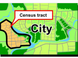
Volunteer & Map Canada: Statistics Canada Crowdsourcing Pilot Project

Statistics Canada has launched a new pilot project using OpenStreetmap.  For  many Canadians outside of the geomatics community this is…

Airobotics Selects SimActive’s Photogrammetry Software for its Automated Industrial Drone Solution

Montreal, Canada, August 30th, 2016 – SimActive Inc., a world-leading developer of photogrammetry software, is pleased to announce that Airobotics…

Thinking About Geomatics: How to Find the Right Device for Data Collection

Finding the right device for data collection I was at CNAM recently and a number of discussions reminded me of…

NetCDF: a growing standard for encoding georeferenced data in binary form

Recently, the Open Geospatial Consortium (OGC) has announced an extension to the OGC CF-netCDF 3.0 encoding standard that specifies how…

New Autonomous Airborne Mapping Solution Redefines Industry Expectations

Teledyne Optech is pleased to announce the latest addition to its innovative line of airborne laser terrain mappers, the Optech…

SNRC: UAV Integration Highly Valued in Canadian Marketplace

Due to a foreseeable increase in the demand for UAV acquired aerial imagery in resource management, various firms are already…

UAV Technology in the Canadian Forestry Sector

The Unmanned Aerial Vehicle (UAV) industry is soaring! Civilian drones are being applied in various global industries ranging from agriculture…

TerraGo® and Juniper Systems Partner to Deliver Next-Generation of Ruggedized GPS Data Collection

  Washington, D.C. (PRWEB)January 26, 2016 TerraGo, a pioneer of geospatial collaboration and enterprise mobility software, announces a technology partnership…