interesting
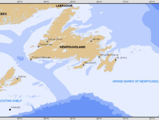
Ten Interesting Facts about the Geography of Canada
This year Canada will celebrate its 150th birthday on July 1st. Most of you, like me, will be out celebrating…
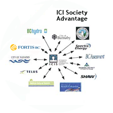
The Integrated Cadastral Information (ICI) Society and ParcelMap BC
This is the first of two articles on the release of ParcelMap BC Data, which we see as a significant…
Upgrade your Geospatial Skills: leveraging the power of MOOCs
What I want to share with you are some resources related to something called Massive Open Online Course (MOOC) where…
Marine Geomatics Primer: Using UUVs to Take Flight Underwater
Unmanned Underwater Vehicles One of the most interesting things to happen in regards to marine geomatics technology has been the…
The Future of GIS Software? QGIS A Popular Open-Source GIS for the Masses
In today’s geomatics society, ArcGIS, developed by Esri, is a giant and dominates the GIS software market. However, there are…
Canadian Geomatics Innovation: Ecere Develops a Next Generation GIS
Not many companies undertake the ambitious goal of creating a new geospatial software suite from scratch. Ecere, a Canadian company…
Interview with Ted Mackinnon: Promoting Canadian GIS & Geomatics on Twitter
GoGeomatics has been actively using Twitter to reach out to the geospatial community since 2009. We have written and hosted…
The 5 most interesting things that happened in geomatics in 2016
Let’s take a step back and have a look at what happened this year. To be honest, it was pretty…
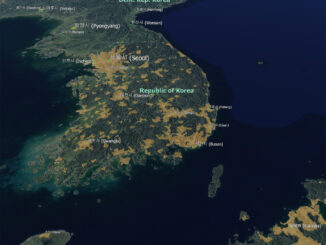
Contrasting: GIS & Geomatics Education in Canada and China
I have studied Geographic Information Systems (GIS) in both Canada and China. Last summer I completed my master in geography at…
What are the Top Programming Languages in the GIS World?
Image source: www.tiobe.com Every now and again we hear about the importance of programming for Geographic Information Systems(GIS) professionals, that…
50 Years a Geographer: My Top Ten books about Geography
In celebration of Geography Week, it seemed like a good idea to issue a challenge: list the top ten books…
How Canadian Remote Sensing Was Made Commercially Successful & Exportable
This piece started as a note on some of my experience as an international consultant in remote sensing specifically and…