lidar
International Geospatial Briefing October 31st, 2022
How are the GoGeomatics Briefing created? All across Canada, our volunteer editors and group writers gather virtually, on a weekly…
International Geospatial Briefing October 18th
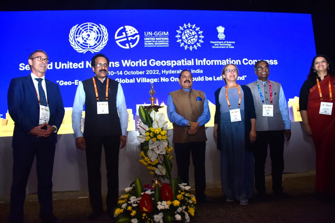
2nd United Nations World Geospatial Information Congress Advances in Automatic Forest mapping from Purdue University Are the Tools Available for…
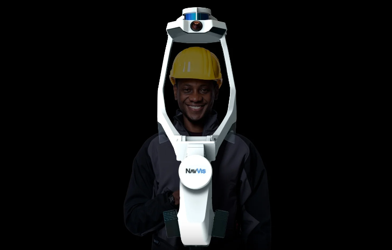
Cansel Offers NavVis VLX Wearable Mobile Mapping Systems to Canadian Geospatial Market
Get ready, engineers, surveyors, and geospatial professionals. A new wearable mobile mapping system is coming to Canada, NavVis VLX. NavVis…
Canada’s Teledyne Geospatial Sells Optech Galaxy PRIME Lidar System to Fototerra
Vaughan, Ontario, CANADA – September 1, 2022 – Teledyne Geospatial is pleased to announce the sale of its Optech Galaxy…
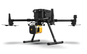
Adopting a LiDAR System for a UAS Geospatial Program?
With the exponential growth of the Unmanned Aerial System (UAS) industry in the last decade, the geospatial community has greatly…
International Geospatial Briefing Aug 8: 1. Radar Sensing for Automotive and Wellness; 2. Webb Captures Cartwheel Galaxy Images; 3. NOAA Adds Census Tract Data to Climate Model Tool; 4. ArcGIS and Unreal Engine, Future of Constructions; 5. Spike Maps, New way to Visualize the Earth
Radar Sensing for Mobility, Wellness, and Holistic Smart City Bitsensing is South Korean startup that develops innovative radar sensing solutions…
Are you still sourcing topographic data the old way?
New tool empowers engineers to save thousands of dollars on surveying costs, win more work, and slash the time it…
SpatioTemporal Asset Catalogs: Enabling online search and discovery of geospatial assets
What is STAC? STAC stands for SpatioTemporal Asset Catalog. It is a language for geospatial catalogs and assets with a…
Cansel Discusses Innovations in LiDAR: Latest Technologies Across Industries
On April 5, 2022, LiDAR COMEX 2022 held a live stream presentation by Cansel. The topic of “Scan to BIM…
International Geospatial Briefing June 27th: 1. Deepest Point of Antarctica’s Southern Ocean Mapped; 2. Digital Twin of Denmark’s Transmission Network; 3. Map Compares the World’s Mountains and Rivers; 4. How Geospatial can be Applied to Climate Challenges; 5. When Digital Tools Fail to Document; 6. Shifting from Response to Recovery
1. Deepest Point of Antarctica’s Southern Ocean Mapped The deepest point of the Southern Ocean surrounding Antarctica – a 7,432-meter…
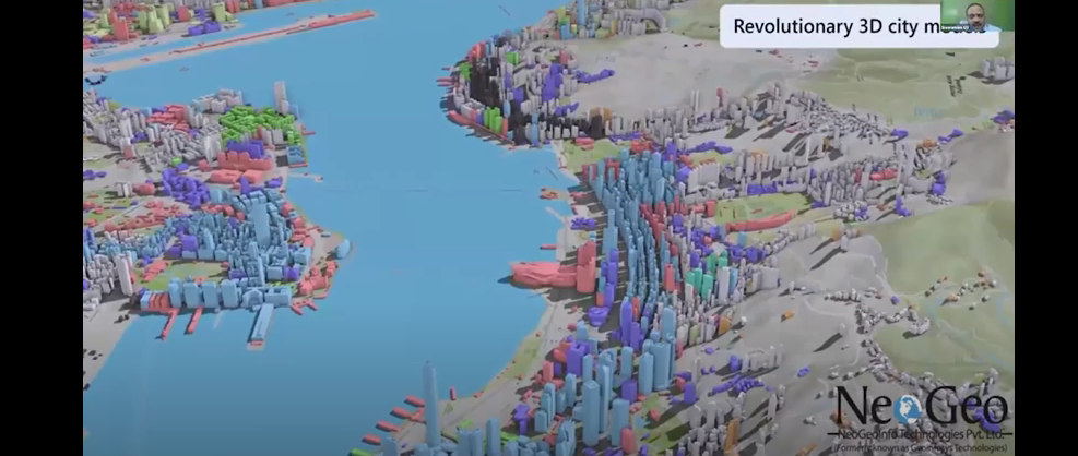
NeoGeo Technologies Ready to Grow in Canada
Award Winning Company Eager to Provide Solutions A livestream on March 3, 2022, from the GeoIgnite, Winter Geo conference, delighted…
The State of Mobile Mapping 2022 is here: You’re invited to take part in the industry survey of the year
You’re invited to take part in one of the biggest and most ambitious surveys ever conducted about mobile mapping. NavVis,…


