weather

Exploring-Geospatial-AI Icebergs and weather forcasting

Exploring Geospatial AI: Icebergs and Advanced Weather Forecasting

AI is everywhere. ChatGPT made headlines with its initial release in November 2022, and just over a year later here…

Examining how agriculture is affected by climate

Catherine Champagne shares data on how one of the most important sectors is affected by climate Catherine Champagne, acting manager…

New interactive atlas paints a picture of how climate change will impact the globe and what this means for Canada

The latest Intergovernmental Panel on Climate Change (IPCC) sixth assessment report warns about the future of our planet under the…

Google Earth Engine – What is a Data Cube and Why Canadians Should Care

What is a data cube and how is it used for big data analytics?  How does a data cube work…

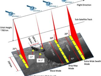
Free Satellite Imagery For You: Sentinel 1 & 2

Sentinel constellations and data products As the ENVISAT program is coming to an end, the European Space Agency has begun…

Event in Pictures: COGS Industry Expo 2017

The College of Geographic Sciences (COGS) held the 2017 COGS Industry Expo on March 23 in Lawrencetown, Nova Scotia. COGS…

GIS in Action: How Does BC Pinot Noir Express Terroir?

Editors note: In this previously published article, Karl Kliparchuk, BCIT GIS Program Head & Instructor uses GIS to explore the…

Top Ten Climate Change Maps and GIS Applications

Awareness for climate change has been steadily increasing ever since the Green Revolution in the 1960s. There is a plethora…

Eastern Canada

Grand Banks to the Gulf of Mexico: My Canadian Geomatics Career

I often contemplate what it would have been like working at the same job for an entire career. Mind you,…

Canadian flag

Ten Interesting Facts about the Geography of Canada

This year Canada will celebrate its 150th birthday on July 1st. Most of you, like me, will be out celebrating…

Geospatial Earth Observation Using Blimps, Balloons and Kites

These days drones are all the rage. Nevertheless, there are other ways to collect data from the sky! Blimps, balloons and kites…

Predicting the Future of the GIS in Canada

Editors note: This article has been jointly written by Bruce McCormack and Gordon Plunkett. Bios can be found at the…

1 2 3 5