
Digital Globe

Geoignite 2020 Video: Maxar: Elevation suite – an overview of elevation products
Ryan Hamilton & John Roos from Maxar Technologies presented their earth observation satellites and new advances in photogrammetry. They allow high levels of detail in 3D models that previously only airborne sensors could provide.

GeoIgnite is the exciting new Geospatial Conference for Canada: Ottawa June 18-19, 2019
GoGeomatics Canada is thrilled to announce the inaugural GeoIgnite Conference in Ottawa, which will take place June 18th and 19th,…
Your Global Geospatial Briefing for December 3rd: Chinese data collection; Digital Globe and AWS; Open Data Institute; UK Geospatial Commission
China collects data from foreign car firms More than 200 car makers selling electric vehicles in China — including Tesla,…
Your Global Geospatial Briefing for October 9th: Geospatial Data Act; cloud computing; security; NASA tests satellites; blockchain
A federal act to streamline geospatial data The USA recently passed Geospatial Data Act is expected to streamline federal government…
Canadian Firm MDA Completes Acquisition of DigitalGlobe
MDA Completes Acquisition of DigitalGlobe, Creates Industry Leader in Satellite Systems, Earth Imagery, Geospatial Solutions and Analytics Combined company renamed…

Happy Canada Day! Back to School with GoGeomatics 150th Events Across Canada
GoGeomatics Canada is thrilled to announce the 4th annual series of coast-to-coast Back to School Socials (BTSS) taking place this…
MDA to Acquire DigitalGlobe, Creating Industry Leader in End-to-End Space Systems, Earth Imagery and Geospatial Solutions
San Francisco and Westminster, Colo. – MacDonald, Dettwiler and Associates Ltd., a global communications and information company providing technology solutions…

Event Recap: COGS & CIG & GANS Cooperate for Mapping Workshop
The Canadian Institute of Geomatics (CIG) Nova Scotia Branch and the Geomatics Association of Nova Scotia (GANS), two regional professional organizations that foster the application of geographic information within the geomatics sector recently collaborated to host a high resolution mapping workshop at the Centre of Geographic Sciences (COGS) in Lawrencetown, Nova Scotia.

Atlantic Canada: COGS: Geomatics Professionals Coming to Discuss High Resolution Coastal Mapping
High Resolution Coastal Zone Mapping This collaborative effort by GANS & the CIG will engage the geospatial community & increase awareness on the value…

Feb 7-8: Two Day Workshop on High Resolution Mapping Along Coastal Zones
The coastal zone, that dynamic geographic region where the interaction of the sea and land occurs, is vital to the…
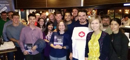
Report for 450 Participants & Sponsors: 2016 GoGeomatics Canada Back to School Socials
Last month the Canadian geomatics community came together to celebrate the start of the new school year by welcoming new…
Join us for Coast to Coast “Back to School” 2016 GoGeomatics Canada Socials
GoGeomatics Canada is kicking off the new school year this September, and welcoming everyone to our Canada-Wide Back to School…
