
The coastal zone, that dynamic geographic region where the interaction of the sea and land occurs, is vital to the lifestyle and economy of Atlantic Canada. Having quality geospatial data is essential for mapping coastal resources and infrastructures to help ensure safe and sustainable activities within coastal regions, and accurately mapping the coastal zone can be very challenging.
The Geomatics Association of NS (GANS) and Canadian Institute of Geomatics (CIG) are co-hosting a 2 day workshop at COGS in Lawrencetown, Nova Scotia on Feb 7-8, 2017. 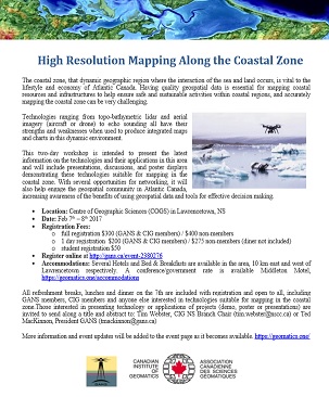
This two-day workshop is intended to present the latest information on the technologies and their applications in this area and will include presentations, discussions, and poster displays demonstrating these technologies suitable for mapping in the coastal zone. With several opportunities for networking, it will also help engage the geospatial community in Atlantic Canada, increasing awareness of the benefits of using geospatial data and tools for effective decision making.
If you are interested in presenting at the event (oral or poster), please contact Tim Webster with your title etc.
Register online on our workshop website
Anders Ekelund, Vice President of Airborne LiDAR for Leica Geosystems will be a keynote speaker on day 1 of the event. In addition to the talks we will have a poster session as well where after the first day we will have a cash bar and a chance to network before we sit down to a meal together which will be followed by a presentation from John Roos, Digital Globe – Director of Sales in Canada to update us on the latest with Worldview 4 and other high resolution satellites.
There will be presentations from a wide range of subjects: Topo-bathy lidar (AGRG will update folks on our past field season and projects), aerial photography, topo-lidar, drones, satellite mapping, and marine based echo sounding, etc.
Tentative program is available here preliminary-program-high-res-mapping-2016
PDF description of the events and the costs can be downloaded high-resolution-mapping-along-the-coastal-zone-flyer-2
Tim Webster, Ph.D.
Research Scientist, Applied Geomatics Research Group (AGRG)
Centre of Geographic Sciences (COGS), Nova Scotia Community College
Phone: 902-825-5475 Cell: 902-825-7433 Fax: 902-825-5479
e-mail: [email protected]
Website: http://agrg.cogs.nscc.ca/
Chair, Nova Scotia Branch, Canadian Institute of Geomatics
Adjunct professor, Acadia University & Dalhousie University, Dept. of Earth and Environmental Sciences


Be the first to comment