
The author Bob Maher (BM) and Chris Hopkinson (CH) both worked as scientists at the Appied Geomatics Reearch Group (AGRG) between 2004-2011. Five years later, it was time to catch up. Chris is currently Research Chair in Terrestrial Ecosystems Remote Sensing at the University of Lethbridge, Alberta.
BM: You were instrumental in bringing LiDAR technology to Nova Scotia. What changes have you seen in the technology over the five years?
CH: The field of LiDAR is high tech and fast paced. It’s very hard to keep up with developments. Indeed, there have been multiple advances in terms of faster, smaller, more accurate technologies and an increasing move to mobile mapping technologies i.e. vehicle mounted systems. There are many notable advances we could discuss, but I’ll just mention four.
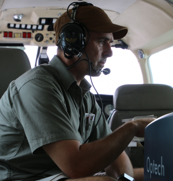
We have seen the advent of cost effective SLAM based LiDAR mapping sensors that can be deployed as handheld scanners without GNSS. Hardware such as the Zebedee (or Zeb 1) allows a person to walk with a wand-like scanner that oscillates back and forth, mapping everything in its immediate surrounding proximity. Great for indoor 3D mapping applications. Second, gradual miniaturization of hardware and proliferation of UAV platforms has inevitably led to the growth in UAV LiDAR for local plot to field scale 3D mapping. Third, is the evolution of multi-spectral LiDAR, for example in the Teledyne Optech’s Titan system that integrates a green channel with two IR channels for combined bathymetric and terrestrial 3D mapping. I fondly refer to this technology as ‘ecosystem diagnostic imaging’.
Finally, another innovation is LEDDAR (or LED detection and ranging). A company in Quebec has pioneered the use of LEDs and proprietary optics to capture multiple ranges across variable field of views, using a form of ‘flash’ active ranging but using low powered LED illumination.
BM: Has there been a shift in the applications? In the Nova Scotia time frame, the emphasis seemed to be on forestry and hydrology.
CH: Many of the usual suspects are still going strong. Water has always been a key driver of LiDAR e.g. flood hazard mapping. Forest resource inventory and harvest design plans using LiDAR are commonplace around the world. Large infrastructure development projects and landscape level cut and fill applications can, and do, benefit from LiDAR.
The big opportunities today are in bring costs down: extracting more information and value from data, making data more accessible to a wider range of stakeholders i.e.. ‘big data democratization’. This means developing more open tools and getting the data into the cloud.
BM: You have been teaching and conducting research in both the Canadian college and university systems. Do you see much difference?
CH: It’s always a pleasure to interact with keen students, regardless of the institutional context.
I truly believe that my time teaching in the college environment provided me with an applied outlook to teaching outcomes that I would likely never have picked up on from my years teaching at the university level, both prior to, and following AGRG.
BM: Do you use the same approaches? Do you see the need for the same skill sets?
CH: Excellent question! Actually, with my upper level university students I find similar interests and motivations to the Advanced Diploma students at AGRG and COGS. The common thread is that they are beginning to think beyond their training and about what lies ahead. Consequently, the one common element in my teaching across institutional types is my emphasis on skills and knowledge that make students saleable and attractive to employers. This is extremely important to me.
BM: At AGRG, we considered LiDAR as one of the many technologies embraced by the term, Geomatics. others included GPS, GIS, Image Analysis, Surveying. In terms of the need for Geomatics professionals in Canada, how are we doing, keeping abreast of this technology suite? Are we competitive?
CH: I think Canada has always played a respectable and leading role in this field. Companies like Applanix and Teledyne Optech are still leading the way, in terms of Geomatics technology related to mobile mapping and LiDAR. These companies may no longer be fully Canadian owned but they do demonstrate that the talent is here. As long as federal funding allows our universities and colleges to maintain the growth of talent in this sector, then I see no end to new Canadian innovations in this sector. Mapping, survey and remote sensing are absolutely essential skills and capabilities for a country of this size with its huge resource base.
BM: You have been running your own research group for several years. Can you give us some examples of recent projects?
CH: I mentioned LEDDAR above. I have two students developing scanning applications, as well as water level and snow depth in situ sensors. The plan is to commercialize this technology, but first we have to do a lot of testing.
I also have a large team working on a provincial water portal project that merges provincial LiDAR terrain data taken from library data sources and merges it with time series Radarsat 2 synthetic aperture radar water masks. Our partners are both the province of Alberta and CCRS.
BM: Thanks, Chris. it’s great to catch up. Best wishes to Laura and the family.
CH: Thanks for the opportunity.
References
- Contact Dr. Chris Hopkinson at [email protected]
For more information on the projects at the Artemis lab, go to
http://artemis-lab.strikingly.com


Be the first to comment