
Education & Careers
My COGS GIS Education, Part II
In my first article, I introduced the how and why I chose to attend COGS from the fall of 2014 to spring 2016. In Part 2, I wanted to give some insight into the first-year […]
In my first article, I introduced the how and why I chose to attend COGS from the fall of 2014 to spring 2016. In Part 2, I wanted to give some insight into the first-year […]

EnerGIS 2017 6/5/2017 to 6/6/2017 Suburban Pittsburgh, Pennsylvania. Join us for our 5th annual conference June 5th and 6th 2017! EnerGIS 2017 is an energy-focused Geographic Information Systems conference that brings together GIS professionals and […]
The 42nd Annual Conference of the Canadian Cartographic Association “150 Years of Cartography: Past, Present and Future” Location: Carleton University, Ottawa, ON – River Building Date: Wednesday, May 31 – Friday, June 2, 2017 This […]
Call for Presentations Following the success of our December event, the URISA BC Executive Team is busy planning our next seminar for the Vancouver Marriott Pinnacle Downtown. Join us in mid-June, 2017 for URISA BC’s […]
The Canada Centre for Mapping and Earth Observation invites you to attend the Arctic Spatial Data Pilot Demonstration Webinar. Managed and organised by the Open Geospatial Consortium (OGC), the Pilot is sponsored by NRCan (Canada Centre […]

Awareness for climate change has been steadily increasing ever since the Green Revolution in the 1960s. There is a plethora of data, maps, and Geographic Information Systems (GIS) applications available freely or accessible to the […]
The Earth Observation (EO) Summit 2017 brings together in one exceptional event the 38th Canadian Symposium on Remote Sensing (CSRS), the 17th Congress of the Association Québécoise de Télédétection (AQT), the 11th Advanced SAR (ASAR) […]
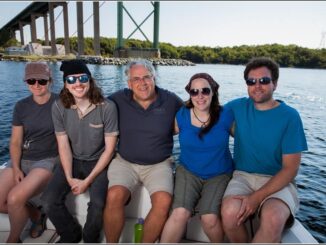
Dr. Tim Webster, is a renowned research scientist with the Applied Geomatics Research Group (AGRG) in Middleton, Nova Scotia. He is one of the top researchers in the geomatics sector, specializing in flood risk mapping, shoreline delineation, and […]