Technology
International Geospatial Briefing Nov 8: 1. ESA Satellites to Track Greenhouse Gases; 2. Tracking Worldwide Food Insecurity; 3. Next-Generation Navigation Systems; 4. Cancer-Causing Air Pollution in the U.S.; 5. Smart Building Technology Post COVID-19; 6. Remote Monitoring of Construction Projects
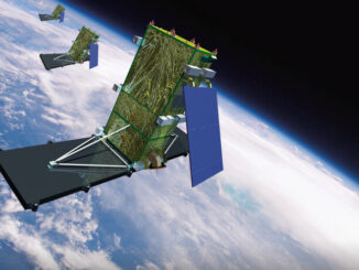
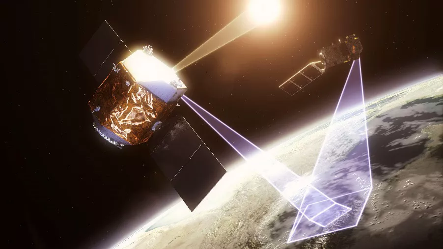
European Satellite Constellation to Track Greenhouse Gas Emissions During the U.N Climate Change Conference (COP26) in Glasgow last week, the European Space Agency announced a new constellation of satellites to track human-made greenhouse gas emissions. […]