Community
Canadian Geospatial Digest – March 17, 2025
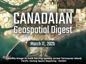
EarthDaily Strengthens Wildfire Monitoring with SkyForest Acquisition New Seismic Mapping Project Aims to Safeguard Metro Vancouver Tracking Herring Spawns from Space to Support Coastal Conservation Legacy of Water Diversions Still Felt in Great Lakes Communities […]