Community
CHC Navigation joins the Calgary 2023 GoGeomatics Expo
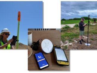
GoGeomatics Expo Welcomes CHC Navigation (CHCNAV) is a global provider of innovative GNSS navigation and positioning solutions covering a wide range of professional applications, including land and airborne surveys, conventional GNSS surveys, 3D data acquisition, […]