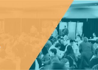
Community
2019-2020 Back to School Socials in Pictures – Thank you Sponsors & Participants!
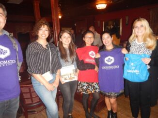
The 6th annual GoGeomatics 2019 Back to School Socials have been a tremendous success. After coming off the success of GeoIgnite 2019 National Conference in Ottawa. Our groups and group leaders across the country came […]