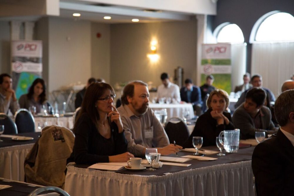
On February 4th, PCI Geomatics held their Annual User Group Meeting in Ottawa, Ontario. There was a high turnout, with about 60 people attending, from all different backgrounds. The event appealed to GIS users of all levels, from students, to GIS professionals in the government and private organizations.

Terry Moloney, the CEO of PCI Geomatics, and Kevin Jones, the Director of Marketing at PCI, began the event by speaking about the company’s goals and values: passion, collaboration and integrity. PCI is a world leader in geo-imaging software, providing solutions for the past 35 years. 150 countries worldwide currently use PCI software for data analysis and processing, and PCI has many partners throughout the world. PCI Geomatics’ CEO, Terry Moloney, announced a 59% growth rate over the past 3 years, and plans to remain a privately held business. The company has a goal ‘To make the world a better place by improving the value of geo-imagery’.
David Piekny, the Product Marketing Manager at PCI Geomatics reviewed the new features appearing in PCI technology in 2016. Some key improvements include faster, more accurate high resolution DEM’s requiring less correction, dynamic atmosphere corrections, mosaicking and color balancing and GXL Cloud processing, getting country-wide mosaics on a cloud server. David Stanley, the CTO and head of research for PCI Geomatics, presented some of the research and development team’s latest projects, including Interferometric SAR.
The event focused on networking, and there were several networking breaks, giving attendees the chance to talk to others in the field, as well as the presenters, from PCI and other companies. Many of the PCI employees attending introduced themselves and were willing to answer any questions.
There will be several advancements coming in the future to SAR technology, including support for big data files and data stacks, tools to more easily manipulate big data files, UAV capabilities and advancements in DEM extraction.
The event featured a few case study presentations, by users of different PCI software functions. Geneviève Marquis, the project manager for the disaster response service at CCMEO. Geneviève manages the emergency geomatics service, using Earth observations to provide emergency mapping products and services for internal and international emergencies. The project primarily focuses on mapping floods and ice jams. The software shows different ice textures, allowing areas at risk of an ice jam or flood to be located, and for proper action to be taken.
The next case study presentation, by Andrew Pylypchuk of BlackBridge/Planet Labs focused on using PCI-based solutions to help produce large amounts of data. They have created mosaic images of Mexico, which is always under 10 metres accuracy. The company as recently acquired the RapidEye Satellite constellation and they are currently developing small, cost-effective satellites, which they can modify to meet the needs of clients.
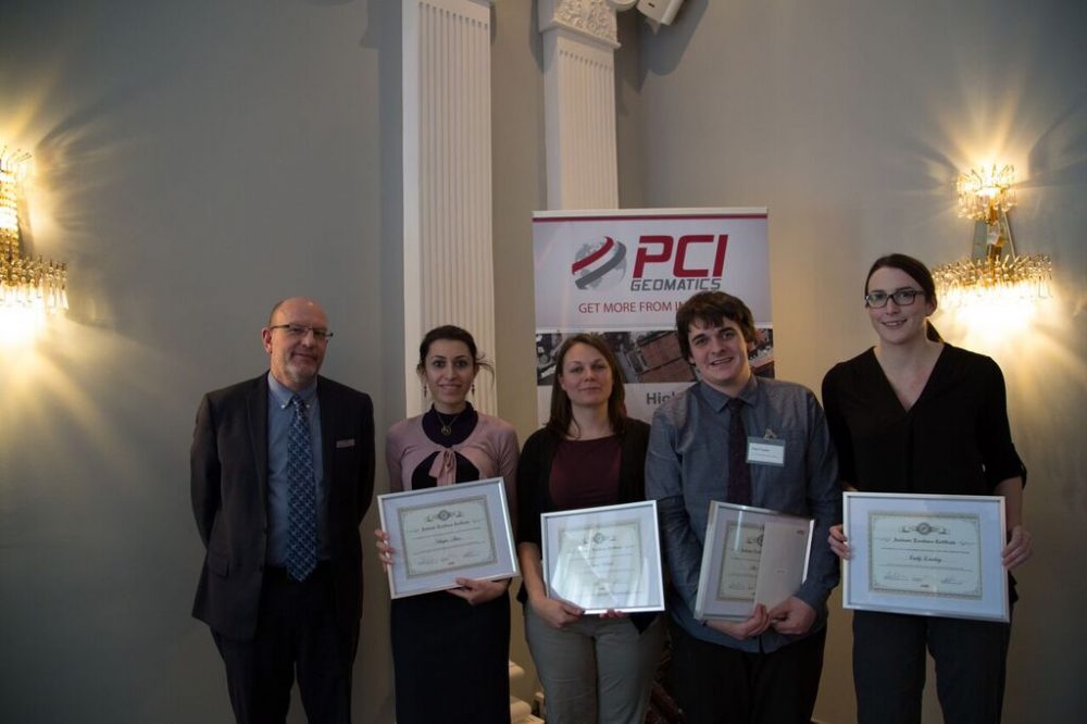
Professor Andrew Davidson, introduced 4 graduate students from the Department of Geography and Environmental Studies at Carleton University. The students presented their research, and how they use PCI products to complete research, or combine it with other technology.
Erik Apedaile, who uses UAV’s in agricultural management, presented the final case study. Erik, an agrologist, provided a unique perspective, as someone from a non-geospatial background.
PCI Geomatics has put a lot of effort into their customer support and academic programme. Kevin Jones, of PCI Geomatics gave a tour of the new online forums for users of PCI products, as well as information about the company’s customer service team. PCI has the best customer service team in the industry, and is working on improving it even more. New additions include a forum, which will act as a community for the users of the programs to voice issues, and interact with them to bring them what they need. Users will also be able to communicate with each other through a forum. PCI has developed a set of teaching and learning resources, including lessons and labs at the beginner, intermediate, and advanced levels. They also offer a fully functional version of Geomatica for students, at the discounted rate of $150.
The event finished with a tour of the PCI Geomatics Developer Zone, led by Shawn Melamed, an Applications Specialist. The company is very dedicated to providing their customers with what they need, and helping them to accomplish projects.


Be the first to comment